South Korea is moving forward with an ambitious space programme expansion, preparing to deploy its fourth next-generation medium-sized Earth observation satellite from Vandenberg Space Force Base in California. Scheduled for launch aboard a SpaceX Falcon 9 rocket, the mission represents another milestone in Seoul's drive to build indigenous satellite capabilities for civilian and strategic applications. The Korea AeroSpace Administration (KASA) confirmed the launch was set for 4.10 pm Korea time, following weeks of functional inspections and fuel preparations at the launch facility.
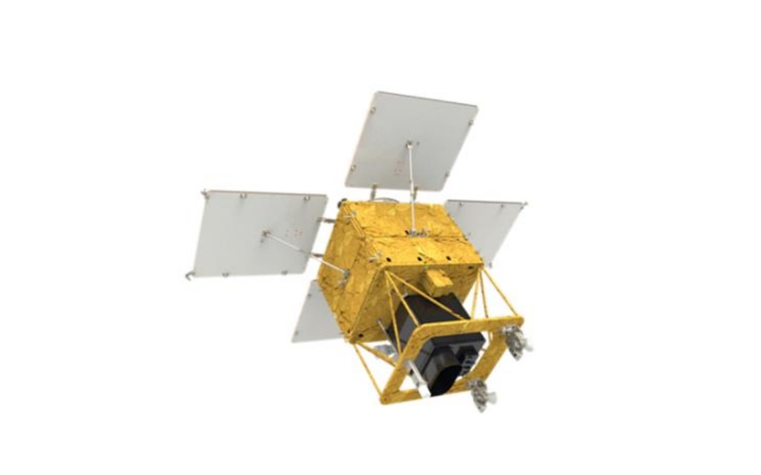
The 500-kilogramme satellite reflects Seoul's growing investment in space infrastructure, particularly in Earth observation technology that provides independent access to critical environmental and security data. Rather than relying solely on international partnerships or foreign satellite imagery, South Korea is developing a constellation of domestic satellites that offer real-time monitoring capabilities tailored to the nation's specific geographic and strategic requirements. This independence becomes increasingly valuable in a region where geopolitical tensions and natural disasters regularly demand rapid, reliable intelligence gathering.
Designed to reach an operational orbit at approximately 888 kilometres altitude, the satellite incorporates homegrown payloads that underscore Seoul's progress in domestic space technology development. The observation camera represents a significant engineering achievement, capable of imaging the entire Korean Peninsula once every three days. This recurring coverage frequency allows for continuous monitoring of changes across the peninsula, delivering data that proves invaluable for tracking environmental shifts, urban development, and other surface phenomena that demand regular surveillance.
The launch sequence itself demonstrates the precision required in modern space operations. Following separation from the Falcon 9 approximately 2 hours and 22 minutes after liftoff, the satellite will establish initial contact with ground stations through the Svalbard facility in Norway roughly 31 minutes after separation. This carefully orchestrated handoff ensures that mission control can immediately begin receiving telemetry data and confirming the satellite's successful deployment into the desired trajectory.
Once safely in orbit, the satellite will enter a four-month commissioning phase during which engineers will thoroughly test all systems and optimise performance parameters. This extended operational period allows technicians to verify that the satellite's instruments are functioning within specifications and that data transmission quality meets mission requirements. Only after successful completion of these initial trials will the satellite transition to full-scale operational status in the first half of next year, when it will begin contributing genuinely useful Earth observation data to South Korean government agencies and approved civilian users.
The government has identified an extensive range of applications for this satellite constellation, extending far beyond simple land monitoring. Agricultural agencies can utilise the imagery to assess crop health, optimise irrigation, and predict yields across cultivated regions. Forestry departments gain the ability to track woodland changes, detect illegal logging, and monitor vegetation patterns over time. Disaster response teams acquire real-time imagery during floods, earthquakes, and other emergencies, enabling rapid assessment of affected areas and informed deployment of rescue resources.
Climate research institutions benefit from the satellite's consistent data collection, which contributes to long-term environmental monitoring programmes essential for understanding regional climate dynamics. The imagery also supports public safety initiatives, allowing law enforcement and emergency management agencies to track infrastructure conditions, identify hazards, and respond more effectively to crises. This multi-purpose approach maximises the return on South Korea's space investment, distributing the benefits across numerous government departments and advancing several policy objectives simultaneously.
For the broader Indo-Pacific region, South Korea's satellite programme carries significant implications. The development of independent Earth observation capabilities demonstrates technological sophistication and reduces reliance on international partners for critical intelligence gathering. As regional tensions persist and environmental challenges mount, the ability to conduct autonomous satellite surveillance provides Southeast Asian nations with a proven model for developing indigenous space capabilities. South Korea's experience suggests that medium-sized nations can successfully build satellite constellations without requiring massive budgets or decades of development time.
The ongoing expansion of South Korea's satellite fleet also reflects shifting geopolitical realities. As space becomes increasingly important for both civilian and defence applications, nations that lag in space infrastructure face growing disadvantages. South Korea's commitment to building a multi-satellite constellation ensures that the country maintains technological parity with regional competitors and secures independent access to the overhead imagery essential for informed decision-making across numerous government sectors. The programme thus represents not merely technical ambition but strategic necessity in an era when space-based capabilities determine national capability across multiple domains.