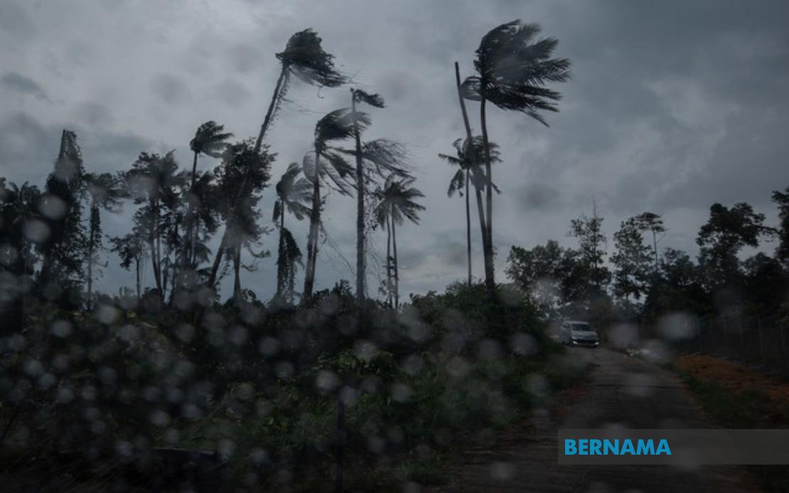
The Malaysian Meteorological Department issued an urgent weather alert at 8.35 am on August 16, warning of imminent thunderstorms, torrential rainfall and damaging winds set to impact multiple regions across the country until early afternoon. The alert encompasses substantial portions of Peninsular Malaysia and Sarawak, with meteorologists flagging conditions that could disrupt transport, commerce and daily activities throughout the affected areas during the critical morning hours.
On the peninsula's western coast, the entire states of Perlis and Melaka are under alert, while the northern region faces threats in Langkawi, Kubang Pasu and Kota Setar within Kedah. These areas have experienced increasing vulnerability to sudden weather deterioration in recent months, and residents are being advised to exercise heightened caution as atmospheric pressure systems continue to destabilise across the region. The inclusion of Langkawi, a major tourist destination, carries particular significance for the hospitality and transportation sectors that depend on stable weather patterns.
Central Peninsular areas bracing for impact include Kuantan, Pekan and Jerantut in Pahang, where ground conditions may be saturated following recent precipitation events. The Selangor corridor, encompassing Sepang and Kuala Langat, faces additional risk given the region's high population density and extensive commercial infrastructure. These districts, which include the Federal Territory's immediate periphery, could experience localised flooding in low-lying zones and transportation delays on major arterial routes should rainfall intensify as predicted.
Negeri Sembilan's broader central belt has also been designated within the warning zone, with Port Dickson, Seremban, Rembau, Kuala Pilah and Tampin all affected. This geographical spread suggests the weather system possesses significant lateral extent and energy. Southern Peninsular regions including Tangkak and Muar in Johor round out the mainland alert, indicating that the system's influence penetrates well into the southern corridor of the country.
Beyond the peninsula, Sarawak faces concurrent threats, with the meteorological department identifying Mukah, Selangau, Sibu, Sarikei, Maradong, Bintulu, Kapit, Bukit Mabong and Subis in Miri as vulnerable zones. The breadth of the East Malaysian alert suggests a substantial weather disturbance affecting both regions simultaneously, possibly driven by monsoon interaction or equatorial convergence patterns typical of mid-August atmospheric dynamics. Sarawak's diverse terrain, ranging from coastal lowlands to interior highlands, means the storm's impact will vary considerably by topography and altitude.
MetMalaysia classified this as a short-term weather warning, which by operational definition remains valid for a maximum period of six hours with each renewed advisory. This classification indicates the department is monitoring conditions closely and will issue updated guidance as the system evolves. Such time-limited warnings, typically issued for convective threats, require residents and authorities to remain vigilant and responsive, as conditions can intensify or shift rapidly throughout the morning period.
The practical implications for Malaysians are substantial. Commuters should anticipate possible congestion on major expressways, particularly in Selangor and Johor, where thunderstorm activity can reduce visibility and road grip. Public transport users, particularly those relying on bus services and light rail networks, may experience scheduling disruptions. Schools and workplaces in affected areas should assess the need for early dismissals or operational adjustments, though most institutions will likely maintain normal hours given the 1pm terminal time for the alert.
Airport operations across the peninsula could face temporary constraints if severe convection develops near flight paths or runways. The warnings encompassing Kuala Lumpur's metropolitan region and Johor's industrial zones carry economic implications for logistics and manufacturing sectors dependent on just-in-time supply chains. Construction sites and outdoor commercial activities should implement weather precautions, particularly securing loose materials and suspending crane operations if wind speeds approach dangerous thresholds.
Agricultural stakeholders, especially those in Pahang, Johor and Negeri Sembilan's farming communities, may benefit from the rainfall if it is moderate and non-destructive, though excessive precipitation risks damaging standing crops and flooding irrigation infrastructure. Smallholder planters and estate operators typically welcome meteorological forewarning that enables protective measures. For urban populations, the storms may provide temporary relief from heat and humidity, though flash flooding in poorly drained urban areas remains a concern requiring vigilance from local authorities and residents in flood-prone zones.
The timing until 1pm suggests the system should clear during early afternoon as sea breezes establish themselves and atmospheric instability diminishes through heating of the day's later stages. However, residents should remain alert to any official updates from MetMalaysia, as weather systems occasionally persist longer than forecast or intensify beyond initial predictions. Those in vulnerable areas should ensure emergency supplies are accessible, drainage channels are clear, and family members understand appropriate shelter-in-place procedures should conditions deteriorate unexpectedly during the warning window.

