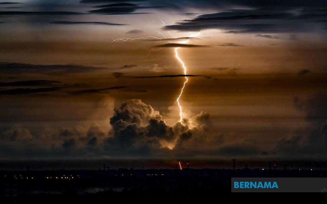
The Malaysian Meteorological Department issued an urgent weather advisory on Wednesday affecting a significant swathe of the country's peninsula, warning of potentially hazardous atmospheric conditions persisting through the evening hours. The meteorological alert encompasses numerous districts spanning both east and west coasts, indicating a substantial weather system moving across the region with implications for transport, utilities, and public safety.
Peninsula Malaysia's west coast faces notable exposure, with authorities highlighting vulnerable zones in Selangor that include the coastal areas of Sepang, Klang, Sabak Bernam, Kuala Selangor, and Kuala Langat. This region, containing critical infrastructure and densely populated centres, warrants particular attention given the intensity of rainfall anticipated. Negeri Sembilan's administrative centres at Rembau and Port Dickson similarly fall within the warning zone, positioning the federal territory's neighbouring state as another focus area for meteorological monitoring.
The southern state of Johor has been flagged specifically for the Mersing district, a coastal region popular with domestic and international visitors. This designation suggests tropical systems may be influencing moisture patterns across the Straits of Johor, a common pathway for convergence zones during certain seasonal configurations. Melaka's interior and central districts of Alor Gajah and Melaka Tengah complete the western roster, presenting a coherent band of vulnerability along the Strait of Malacca corridor.
The east coast situation reflects conditions extending across both Terengganu and Pahang at their entirety, two states historically susceptible to intense precipitation events during monsoon transitions. Without more granular district specifications for these states, the blanket advisory suggests broad meteorological instability rather than localised convective cells, indicating systemic atmospheric pressure patterns rather than isolated thunderstorm activity.
Peakian's contribution to the warning zone includes four specific districts: Bagan Datuk, Muallim, Hilir Perak, and Batang Padang. This clustering suggests concentrated vulnerability in both littoral and interior zones of the state, potentially reflecting orographic effects where moisture-laden systems interact with topographical features common to Perak's terrain.
The temporal constraint—warnings remaining valid only until 9pm—indicates meteorological confidence in the system's movement and dissipation timeline. This precision suggests radar confirmation and atmospheric modelling support the prognosis rather than precautionary generalisation. However, such forecasts remain subject to real-time atmospheric dynamics, and residents should monitor official channels for updates.
Thunderstorms accompanied by heavy downpours present compound risks across affected regions. Flash flooding becomes a genuine concern particularly in low-lying areas, drainage-compromised zones, and urban localities where surface water management faces seasonal strain. Strong winds associated with convective activity threaten unsecured structures, vegetation, and outdoor installations. Power disruptions frequently accompany severe thunderstorm activity, disrupting communications and essential services across affected communities.
Transport networks warrant particular scrutiny given the evening timeline. Visibility degradation during heavy precipitation typically necessitates speed reductions on major highways, potentially creating congestion and accident risks. Maritime operations across the Straits region face heightened conditions requiring navigational caution. Aviation movements may experience delays should thunderstorm intensity approach operational thresholds at Malaysian airports serving affected regions.
Public safety directives typically accompanying such alerts recommend sheltering indoors, securing outdoor possessions, and avoiding unnecessary travel during peak warning periods. Motorists should exercise heightened caution, particularly on elevated routes or sections prone to water pooling. Utility authorities generally position additional resources in anticipation of infrastructure impacts, though response times may extend during concurrent widespread incidents.
The geographic distribution spanning both coasts simultaneously suggests a substantial atmospheric feature rather than typical afternoon convection. Understanding whether this represents a monsoon trough, convergence zone, or tropical pressure system remains crucial for contextualising severity and probability. Residents' preparedness depends partly on recognising whether this constitutes typical seasonal variability or anomalous intensity warranting enhanced vigilance.
Southeast Asian meteorological patterns demonstrate increasing variability in recent years, with climate dynamics generating unexpected precipitation concentrations. Malaysian residents have grown accustomed to tropical weather volatility, yet systematic monitoring and tiered response protocols continue evolving to address potential extremes. This particular alert, though operationally routine, reinforces the necessity for maintained weather awareness and official alert responsiveness during season transitions.
Communities within designated warning zones should treat the advisory with appropriate seriousness, implementing household and business preparations accordingly. Those managing vulnerable populations or essential services should activate contingency protocols as the evening approaches. Real-time information updates from MetMalaysia represent the most reliable guidance source as conditions develop throughout the day.

