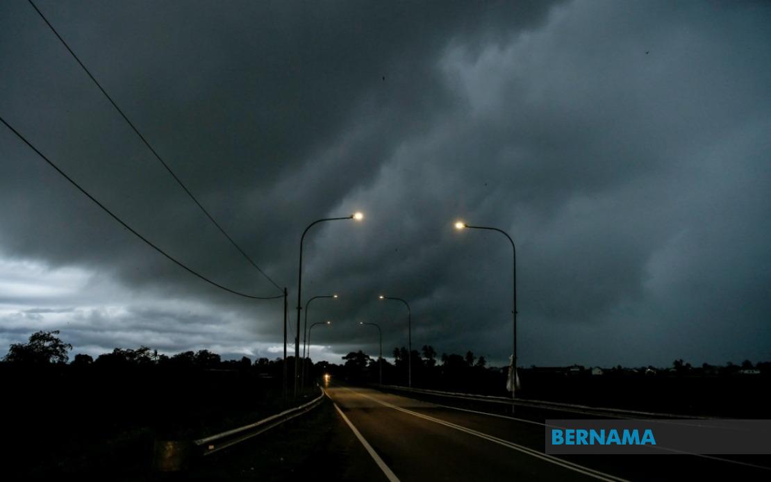
The Malaysian Meteorological Department has activated widespread thunderstorm alerts across a significant swathe of the country, with warnings remaining in effect until 6 pm today across 10 states and numerous districts. The alert encompasses hazardous weather patterns including heavy precipitation and strong gusty winds, affecting millions of residents in both urban and rural areas from the northern peninsula through to East Malaysia.
In the northern Peninsular region, Perlis faces the full brunt of the warning, while neighbouring Kedah experiences localized threats concentrated in six districts: Padang Terap, Kuala Muda, Sik, Baling, Kulim and Bandar Baharu. This patchwork approach reflects the meteorological department's precision in identifying areas most vulnerable to instability, allowing residents outside designated zones to proceed with ordinary caution. Perak, which spans a vast interior territory, has ten districts flagged for concern—Kerian, Larut, Matang and Selama, Hulu Perak, Kuala Kangsar, Kinta, Kampar, Batang Padang and Muallim—suggesting atmospheric conditions are particularly unstable across the state's geography.
Kelantan experiences fragmented threat zones across its northeast coast and interior districts, with Pasir Mas, Jeli, Tanah Merah, Machang, Pasir Puteh, Kuala Krai and Gua Musang all marked as vulnerable. Terengganu, by contrast, faces comprehensive coverage under the warning, indicating meteorologists anticipate more generalized instability across the entire state. This regional variation in alert intensity provides crucial nuance for emergency responders and the public alike, as blanket warnings across entire states often generate complacency when risks prove concentrated.
Pahang's vast interior and eastern districts feature prominently in the alert, with Cameron Highlands, Lipis, Raub, Jerantut, Bentong, Kuantan, Pekan and Rompin all designated for heightened vigilance. The inclusion of high-altitude Cameron Highlands is particularly significant, as mountainous terrain can amplify storm intensity and trigger flash flooding in valleys and lower-lying areas. In Selangor, only Hulu Selangor district—the state's rural interior frontier—faces the warning, suggesting coastal and central urban zones may see more benign conditions, though residents should remain weather-aware nonetheless.
Johor's southern peninsula exposure translates into seven districts requiring heightened precautions: Batu Pahat, Kluang, Mersing, Pontian, Kulai, Kota Tinggi and Johor Bahru. The inclusion of Johor Bahru—Malaysia's southern economic hub and gateway to Singapore—indicates that even major commercial and residential centres cannot be excluded from severe weather threats during monsoon-influenced periods. This pattern underscores the indiscriminate nature of equatorial atmospheric phenomena, which strike regardless of economic status or urban development.
East Malaysia faces equally widespread impacts, with Sarawak experiencing threats across multiple divisions stretching from coastal Kuching through to the interior. Kuching's satellite districts Bau and Kuching proper, the southwestern Betong region encompassing Saratok and Kabong, and the central division of Sarikei all require preparedness measures. Sibu division, encompassing both Sibu and Selangau, joins the alert alongside coastal Mukah and the industrial timber region of Bintulu. Miri division in the far north presents a complex picture with four identified risk areas: Subis, Beluru, Miri and Marudi, suggesting meteorological complexity across this geographically diverse region.
Sabah's exposure spans four major geographic zones, from the interior uplands through to coastal districts. Interior zones including Sipitang, Tenom, Kuala Penyu, Beaufort and Tambunan—typically cooler and more topographically varied—feature prominently, as does the West Coast corridor spanning Kota Kinabalu's metropolitan region. Sandakan's interior district of Beluran and the northern extremity at Kudat round out the state's affected areas, indicating meteorological conditions are remarkably widespread across Sabah's diverse terrain. The geographic spread across both Malaysian states in Borneo suggests the atmospheric system generating these storms possesses considerable spatial extent and intensity.
The timing of this alert—extending through early evening—suggests meteorological models indicate peak instability during afternoon heating periods, when thermal energy maximizes atmospheric convection. Residents and businesses should prioritize securing outdoor items, ensuring drainage systems function optimally, and monitoring official updates throughout the afternoon. The precision geographic breakdown provided by meteorological authorities enables targeted responses, with emergency services able to concentrate resources in highest-risk zones rather than dispersing across entire states.
For transportation networks, the convergence of thunderstorms across major highway corridors presents serious hazards, particularly for drivers traversing interior routes through Pahang and Perak where visibility degradation becomes acute during intense downpours. Maritime activities in affected coastal regions of Sarawak, Sabah and Peninsular Malaysia should exercise particular caution, as rapid wind shifts and sudden squalls pose dangers to vessels. Agricultural regions, particularly in Kelantan, Terengganu and Pahang, may experience crop damage and soil erosion depending on rainfall intensity and duration.

