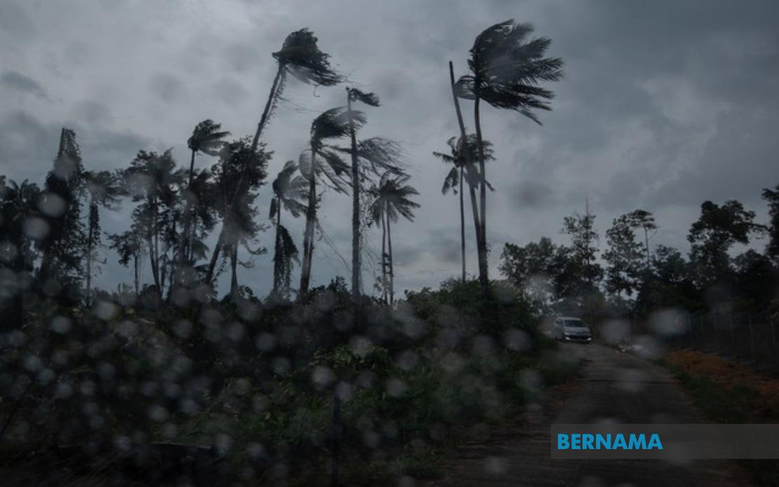
The Malaysian Meteorological Department issued an urgent weather alert at 2.40 pm affecting nine states across the nation, cautioning residents of severe thunderstorms, intense rainfall, and forceful wind gusts expected to continue until 5 pm. The advisory represents a significant weather development requiring immediate public awareness, particularly for those engaged in outdoor activities or residing in vulnerable areas susceptible to flash flooding.
In the northern region, Kedah faces particularly widespread exposure, with six districts on alert. The warning encompasses Baling, Sik, Kulim, Kuala Muda, Pendang, and Yan, suggesting the storms will affect both urban centres and rural communities across the state's varied terrain. The geographic spread indicates the weather system possesses considerable atmospheric energy and geographic reach, presenting concerns for residents across both developed and agricultural areas where drainage infrastructure may prove inadequate during intense precipitation events.
Neighbouring Penang, a densely populated state with significant infrastructure, faces disruptions in both Seberang Perai Utara and Seberang Perai Tengah. These populous mainland districts house millions of residents and contain critical economic zones, making the weather warning particularly consequential for daily operations, transportation networks, and commercial activities dependent on stable conditions.
Perak's vulnerability extends across seven districts, reflecting the state's geographical expanse and varied topography. The warning covers Mualim, Kinta, Kampar, Batang Padang, Perak Tengah, Hilir Perak, and Kuala Kangsar, encompassing mining regions, agricultural zones, and urban centres. Such widespread coverage suggests meteorologists have identified atmospheric conditions capable of producing severe weather across diverse geographic and elevation zones simultaneously.
On the east coast, both Terengganu and Pahang face heightened weather risks. Terengganu's affected areas include Dungun, Marang, Kuala Terengganu, and Kuala Nerus, encompassing the state capital and surrounding communities. Pahang's alert covers nine distinct localities: Cameron Highlands, Lipis, Raub, Bentong, Bera, Rompin, Temerloh, and Maran, reflecting the state's expansive size and diverse microclimates ranging from highland regions to lowland plains. The inclusion of Cameron Highlands, a major tourism destination renowned for its elevation, suggests atmospheric instability affecting even higher altitude zones.
In the central region, Negeri Sembilan's five affected districts—Seremban, Jempol, Tampin, Kuala Pilah, and Jelebu—represent a substantial portion of the state's territory. Seremban, as the state capital, hosts significant population concentrations and commercial infrastructure that could experience operational disruptions. Johor's exposure appears more limited, with only Segamat facing immediate alert status, though this southern state's crucial location within Malaysia's economic corridor warrants close monitoring of any weather system progression.
The warning extends eastward across Sarawak, encompassing multiple divisions and demonstrating that the weather phenomenon's impacts transcend peninsular Malaysia. Miri district, Limbang, Mukah, and Sibu region face alert status, along with Sarikei and Bintulu divisions. This geographic distribution across Sarawak suggests either multiple independent weather systems or a far-reaching atmospheric pattern affecting East Malaysian territories simultaneously.
Sabah similarly faces significant exposure, with warnings covering the Interior Division's six districts—Keningau, Tambunan, Membakut, Tenom, Sipitang, and Beaufort—alongside the West Coast region and Kudat district. These areas encompass both elevated interior regions and lower coastal zones, indicating the meteorological alert reflects conditions capable of generating severe weather across sharply contrasting topographies and microclimatic zones within Sabah's diverse landscape.
The breadth of the warning—affecting nine distinct states and encompassing dozens of individual districts—underscores the scale and seriousness of the atmospheric disturbance. The specificity of district-level alerts demonstrates MetMalaysia's sophisticated forecasting capabilities and recognition that localized weather phenomena warrant precise geographic guidance. The relatively short duration window until 5 pm suggests either a rapidly moving weather system or one expected to weaken within the specified timeframe, though residents should remain vigilant for potential extension if atmospheric conditions intensify.
Weather warnings of this geographic scope typically prompt coordinated responses from emergency management agencies, traffic authorities, and local government bodies preparing for potential flooding, landslides, or infrastructure damage. Residents and businesses across the warned areas should implement standard precautionary measures including securing loose outdoor items, monitoring local news updates, and preparing for potential evacuation if conditions warrant such action. The advisory's precision in identifying specific districts enables targeted resource allocation and focused public communication efforts.

