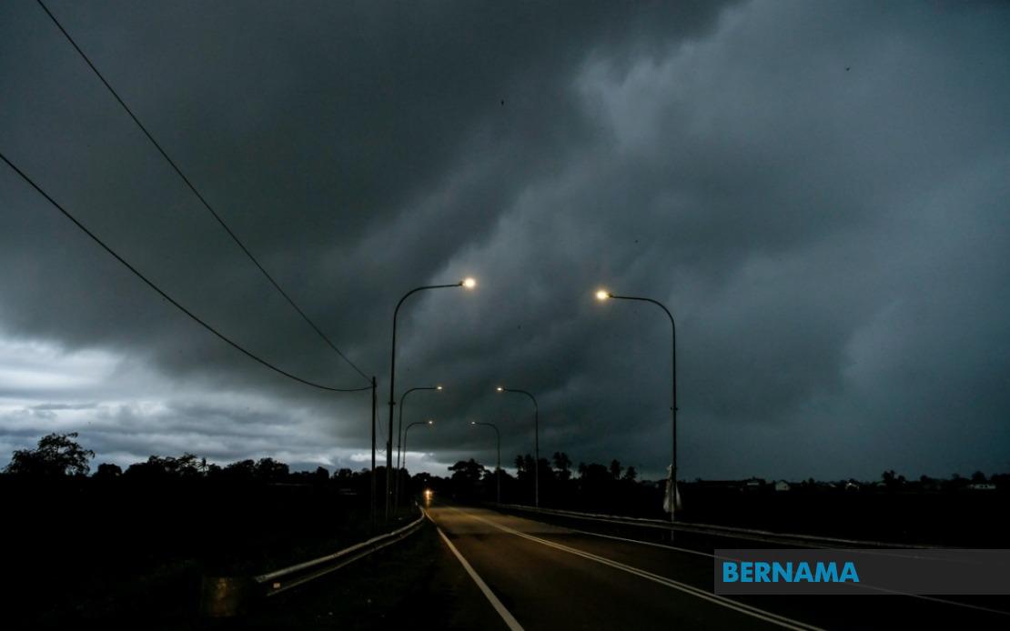
The Malaysian Meteorological Department has issued an urgent weather alert for widespread thunderstorm activity, accompanied by torrential rain and gusty winds, across much of the country through the early morning hours. The warning encompasses six states on Peninsular Malaysia plus Labuan federal territory, with additional areas across both Sabah and Sarawak also placed under alert status. The advisory remains in effect until 1 am the following day, prompting residents and commuters in affected zones to exercise caution during the overnight period.
In the northern peninsula, MetMalaysia identified three districts within Kedah as particularly vulnerable: Padang Terap, Sik and Baling. The state of Perak faces concerns centred on its inland region of Hulu Perak, where mountainous terrain and dense vegetation can amplify the intensity of localised convective systems. Meanwhile, Kelantan on the east coast experienced the most widespread coverage under the alert, with five separate districts flagged—Tumpat, Pasir Mas, Jeli, Tanah Merah and Kuala Krai—reflecting the seasonal pattern of strong moisture influx during this period. Pahang's Jerantut district in the interior also came under the warning, completing the peninsular coverage.
The alert extends significantly into Sarawak, where the meteorological department identified a substantial cluster of districts bracing for severe weather. Kuching, the capital city, alongside suburban areas such as Serian and Samarahan, face potential disruption from thunderstorm activity. Central Sarawak regions including Sri Aman, Betong, Sarikei, Sibu and Kapit were all included, with multiple subdivisions named within several of these larger administrative areas. The coastal zone around Bintulu and the northern reaches of Miri and Limbang divisions round out the Sarawak picture, suggesting a weather system of considerable geographical scope affecting the state's diverse topography from coast to interior.
Sabah's inclusion covers three distinct regional zones. The Interior division around Kuala Penyu, the West Coast corridor encompassing Putatan and Ranau, and the eastern Sandakan district covering Telupid and Beluran, all face the brunt of expected severe weather. This distribution indicates that the atmospheric disturbance is expected to traverse much of Sabah's geography. Labuan federal territory, located in the northern waters off Sabah's coast, was also placed under alert, signalling that maritime areas remain within the threat zone.
Thunder and lightning accompanying such systems pose genuine risks to public safety, particularly for those working outdoors or commuting during nighttime hours. Heavy rainfall, while essential for agricultural operations and water reserves, can quickly overwhelm drainage infrastructure in low-lying areas and urban localities. Strong wind gusts capable of toppling temporary structures, damaging unanchored roofing materials, and creating hazardous conditions for high-sided vehicles warrant serious attention from transport operators and construction sites across affected regions.
The timing of this alert through the early morning hours suggests residents should prepare for potential sleep disruption and ensure their households are adequately secured before the system arrives. Authorities in affected municipalities typically activate contingency protocols during such warnings, positioning rescue personnel and clearing drainage systems to manage water flow. The simultaneous issuance across both Malaysian Borneo and peninsular areas indicates a coordinated meteorological response to a substantial atmospheric system rather than isolated local convection.
For those in alert zones, MetMalaysia's guidance typically includes securing loose outdoor items, avoiding unnecessary travel if conditions become hazardous, and staying updated on subsequent weather briefings. The department's precision in naming specific districts rather than blanket state-wide warnings reflects improved forecasting capabilities that allow affected residents to gauge the actual proximity of threat zones. Individuals in named areas should take the alert seriously, whilst those in neighbouring districts can monitor developments without necessarily implementing full precautionary measures.
The frequency of such alerts during certain months reflects Malaysia's tropical and monsoonal climate patterns, where atmospheric instability generates regular convective weather systems. Understanding these patterns helps communities prepare appropriately and helps authorities allocate resources where they will have greatest impact. The comprehensiveness of this particular alert, stretching from Kedah to Limbang and from Kuching to Sandakan, underscores the geographic extent of the meteorological disturbance affecting the nation.