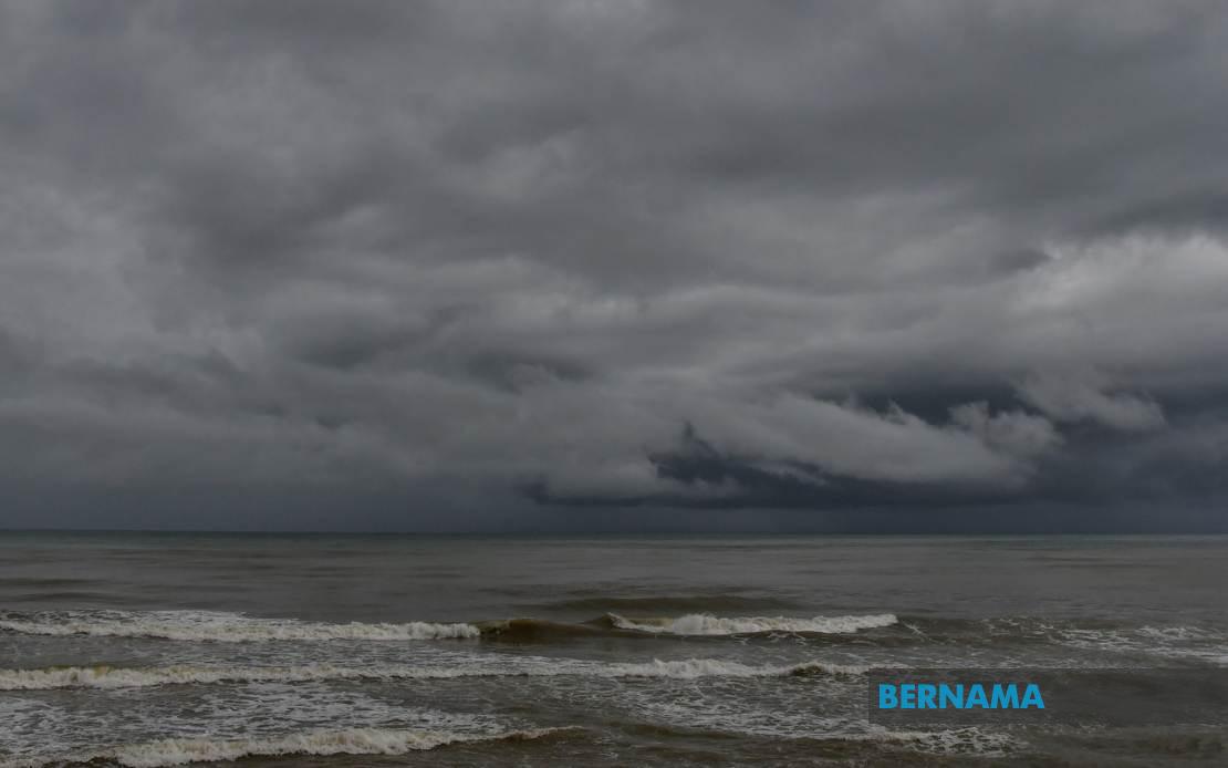
Malaysia's weather monitoring authority has activated an alert system for severe atmospheric conditions sweeping across the nation, with thunderstorms, torrential rain, and gusty winds expected to persist throughout the day until 9 pm. The Malaysian Meteorological Department issued the precautionary notice covering extensive areas spanning Peninsular Malaysia alongside Sabah, Sarawak, and the federal territory of Labuan, urging residents and commuters in affected zones to exercise heightened vigilance.
In the northern corridor of Peninsular Malaysia, Perlis faces the full brunt of the impending weather system. Kedah experiences an even broader impact, with multiple districts including the island state of Langkawi bracing for severe conditions. The warning encompasses lowland areas such as Kubang Pasu and Bandar Baharu alongside inland zones like Baling, Sik, and Kulim, suggesting the weather front possesses both coastal and terrestrial reach across the state.
Perak's exposure extends across its diverse geography, with the western coastal districts of Kerian and Larut facing significant rainfall alongside central highland areas including Batang Padang and Muallim. The warning demonstrates how the weather system transcends topographic barriers, affecting both low-lying plains in Hilir Perak and more elevated regions, indicating an unusually expansive atmospheric disturbance.
The federal capital Kuala Lumpur sits squarely within the warning zone, with particular vulnerability expected in Gombak and Petaling, both densely populated urban districts. Selangor's susceptibility appears concentrated in its peripheral regions, with Sabak Bernam and Kuala Selangor facing exposure alongside strategically important areas like Klang. The inclusion of Hulu Selangor and Gombak suggests the system's reach extends from coastal fringes deep into suburban and semi-rural territories.
In the southern region, Johor's more established urban centers bear the brunt of the alert, with Johor Bahru and Kulai designated as high-concern zones. These commercial and residential hubs represent crucial economic corridors where disruptions to transportation and daily commerce could prove significant. The localized nature of this alert, affecting particular districts rather than the entire state, indicates the meteorological department's ability to distinguish between areas of concentrated risk.
Sabah experiences a particularly complex exposure pattern reflecting the state's diverse terrain. The Interior region faces the broadest impact, while the West Coast districts including major population centers like Kota Kinabalu alongside Tuaran and Penampang signal potential disruption across northern Sabah's most developed areas. Ranau, a highland district, and the sprawling presence of Sandakan in the east demonstrate how the weather system threatens diverse corners of the state simultaneously.
Sarawak's warning encompasses relatively dispersed zones, with Kapit representing the state's inland river network vulnerabilities, while Miri and Limbang face their own exposure. The inclusion of multiple districts within Kapit—namely Kapit proper, Bukit Mabong, and Belaga—suggests concentrated risk across the Rajang River valley, where rainfall intensity directly influences waterway levels and community safety.
These alerts serve as critical public safety mechanisms in Malaysia's weather management framework. Residents in flagged areas should anticipate potential hazards ranging from flash flooding in low-lying zones to wind-related property damage and hazardous driving conditions. The extended duration—persisting until 9 pm—suggests a weather system of considerable temporal persistence rather than a brief isolated storm.
The geographical breadth of this alert underscores the interconnected nature of Southeast Asian atmospheric systems. Weather patterns that trigger warnings across both Peninsular and East Malaysia simultaneously often result from major regional pressure systems or monsoon dynamics. For Malaysian authorities, such comprehensive alerts require coordination across multiple agencies responsible for flood management, traffic control, and emergency response in different states.
Commuters should anticipate potential disruptions to public transportation and road conditions, particularly in affected urban areas. Schools and workplaces in high-risk zones may face decisions regarding early closure or staff dismissal. Property owners should secure outdoor items susceptible to wind damage and ensure drainage systems remain clear to minimize water accumulation during the heavy rainfall period.
The Malaysian Meteorological Department's specificity in naming affected districts rather than issuing blanket state-wide warnings reflects modern meteorological precision. This granular approach enables residents in unaffected areas to proceed with normal activities while those in designated zones can implement appropriate precautions. Such targeted communication represents an evolution in public weather alerts across the region.
Following the alert's expiration at 9 pm, conditions may stabilize, though residents should remain attentive to any subsequent updates from MetMalaysia. The department typically issues fresh warnings should atmospheric conditions deteriorate further or if the system's duration extends beyond initial projections. Weather-conscious Malaysians are advised to monitor official channels for real-time developments rather than relying on informal social media reports.

